
The Role of Remote Sensing in Mineral Exploration: A Focus on Northwestern Zambia


In recent years, the field of mineral exploration has significantly benefited from technological advancements, particularly in the realm of remote sensing. This non-invasive method of collecting data from a distance has become a cornerstone in identifying and evaluating mineral deposits. Northwestern Zambia, with its rich mineral resources, offers an excellent case study of how remote sensing is transforming the industry.
Understanding Remote Sensing
Remote sensing involves the use of satellite or aerial imagery to gather information about the Earth's surface. This technology enables geologists to analyze vast areas without setting foot on the ground, making it particularly useful in remote or difficult-to-access regions like Northwestern Zambia. By interpreting the data collected, experts can identify mineral-rich areas with greater precision.
Types of Remote Sensing Technologies
There are several types of remote sensing technologies used in mineral exploration:
- Optical Remote Sensing: Utilizes visible, infrared, and thermal sensors to capture images of the Earth's surface.
- Radar Remote Sensing: Employs radio waves to penetrate clouds and vegetation, providing data even in challenging weather conditions.
- Hyperspectral Imaging: Collects information across a wide spectrum of wavelengths, allowing for detailed analysis of mineral composition.

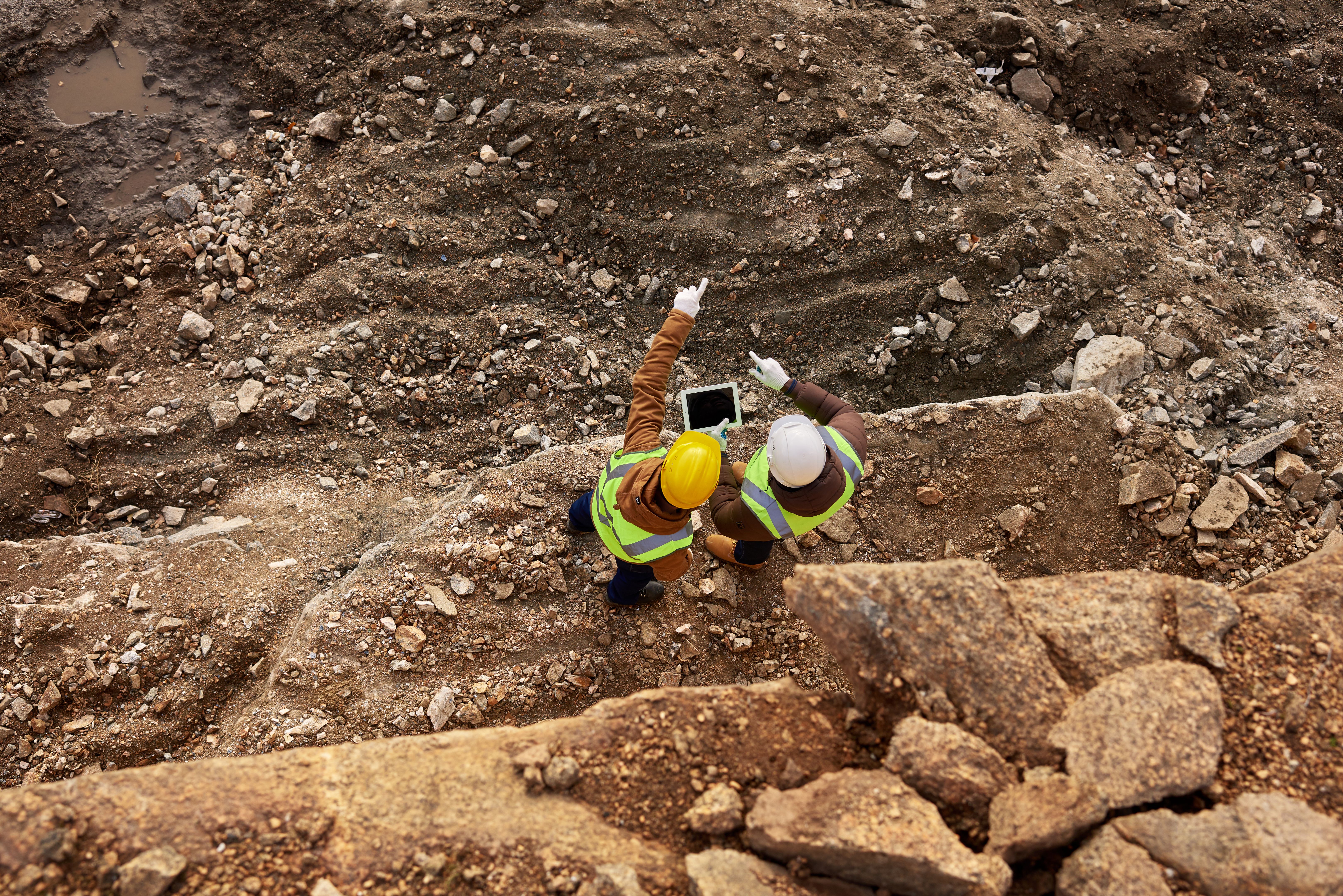
Applications in Northwestern Zambia
Northwestern Zambia is known for its abundant mineral resources, including copper, cobalt, and gold. Remote sensing has proven invaluable in this region, helping to identify new mineral deposits and optimize extraction processes. By analyzing satellite data, companies can detect anomalies indicative of mineralization, leading to more targeted exploration efforts.
Environmental and Economic Benefits
Remote sensing not only increases the efficiency of mineral exploration but also minimizes environmental impact. Traditional exploration methods can be invasive and damaging to ecosystems. In contrast, remote sensing allows for a more sustainable approach, reducing the need for extensive ground surveys. Economically, it lowers exploration costs and reduces the time required to identify viable mining sites.

The Future of Remote Sensing in Mineral Exploration
As technology continues to advance, the role of remote sensing in mineral exploration is expected to grow. Innovations such as machine learning and artificial intelligence are enhancing the ability to process and interpret remote sensing data, leading to even more accurate predictions. This progress promises to further revolutionize the mining industry, particularly in resource-rich areas like Northwestern Zambia.
Challenges and Considerations
While remote sensing offers numerous advantages, it is not without challenges. The high initial cost of technology and the need for skilled personnel to interpret data can be barriers for some companies. Additionally, integrating remote sensing data with traditional exploration methods requires careful planning and expertise.

In conclusion, remote sensing is reshaping the landscape of mineral exploration in Northwestern Zambia. By providing a more efficient and environmentally friendly approach, it is paving the way for sustainable mining practices. As the technology continues to evolve, its impact on the industry is likely to increase, offering exciting possibilities for the future of mineral exploration.