The Role of Remote Sensing in Identifying High-Value Uranium Deposits in Zambia
Introduction to Remote Sensing
Remote sensing technology has become a cornerstone in modern geological exploration, offering a plethora of benefits for mining companies worldwide. In Zambia, where the demand for uranium continues to rise, remote sensing plays a pivotal role in identifying high-value deposits. This technology leverages satellite imagery and aerial data to provide insights that were previously inaccessible, streamlining the exploration process.

How Remote Sensing Works
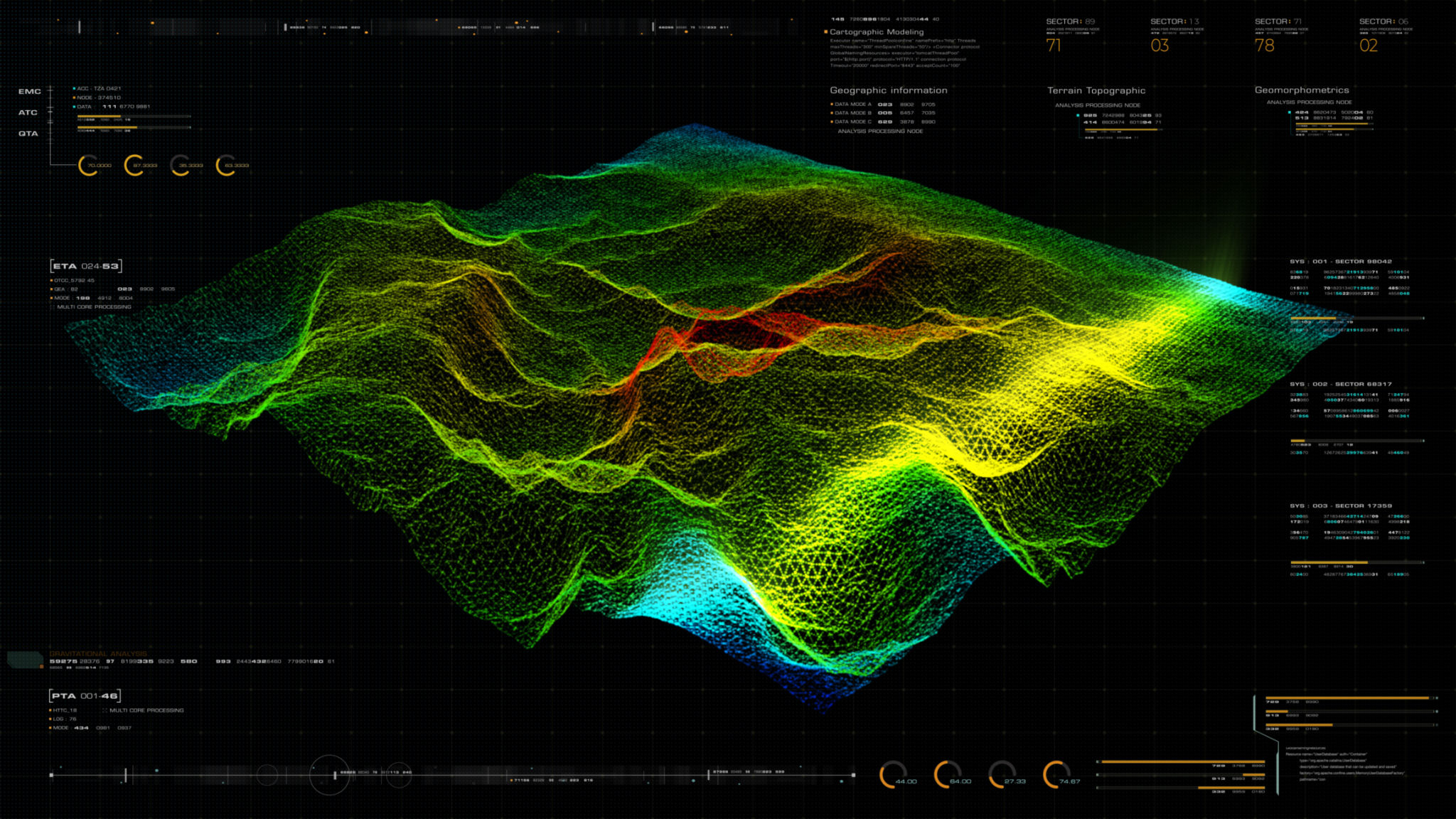
Remote sensing involves the collection of data from satellites or aircraft equipped with advanced imaging sensors. These sensors capture various wavelengths of light, including visible, infrared, and thermal, to create comprehensive images of the Earth's surface. By analyzing these images, geologists can detect subtle changes in surface composition that may indicate the presence of uranium deposits.
The data collected is then processed using specialized software to enhance specific features. This allows researchers to identify mineral signatures and geological formations associated with uranium. The ability to cover large areas quickly and efficiently makes remote sensing an invaluable tool in mineral exploration.
Benefits of Using Remote Sensing in Uranium Exploration
There are several advantages to using remote sensing for identifying uranium deposits in Zambia:
- Cost-Effective: Remote sensing reduces the need for extensive ground surveys, significantly cutting down exploration costs.
- High Accuracy: Advanced imaging techniques provide accurate data that can pinpoint potential uranium deposits with precision.
- Environmental Impact: This non-invasive method minimizes environmental disruption compared to traditional exploration methods.

Technological Advancements in Remote Sensing
The field of remote sensing is continuously evolving with technological advancements that enhance its effectiveness. High-resolution satellite imagery, hyperspectral imaging, and LiDAR technology are some of the innovations driving more accurate and detailed analysis of geological formations. These tools enable geologists to delve deeper into the earth's crust, identifying not just surface anomalies but also subterranean structures that could harbor uranium deposits.
Case Studies: Success Stories from Zambia
Zambia has seen several successful applications of remote sensing in recent years. Companies have discovered significant uranium deposits by leveraging this technology, leading to increased investment and exploration activities in the region. For example, a notable mining company used satellite imagery and hyperspectral data to uncover a previously unidentified deposit, substantially boosting its resource base.

Challenges and Limitations
While remote sensing offers numerous advantages, it is not without challenges. Data interpretation requires skilled analysts who can accurately assess the images and geological information. Moreover, remote sensing usually needs to be complemented by ground-based surveys to verify findings, ensuring that potential deposits are economically viable for extraction.
The Future of Uranium Exploration in Zambia
As demand for clean energy sources increases globally, uranium remains a critical component for nuclear power generation. Remote sensing will undoubtedly continue to play a crucial role in exploring Zambia's rich uranium resources. With the ongoing development of new technologies and methods, the efficiency and accuracy of remote sensing are expected to improve even further, making it an indispensable tool for the mining industry.
In conclusion, remote sensing is revolutionizing the way high-value uranium deposits are identified in Zambia. By offering a cost-effective, accurate, and environmentally friendly approach, it holds the promise of unlocking new resources that can contribute significantly to the country's economic growth and energy sector.
