
The Role of Remote Sensing in Early-Stage Mineral Development


Understanding Remote Sensing
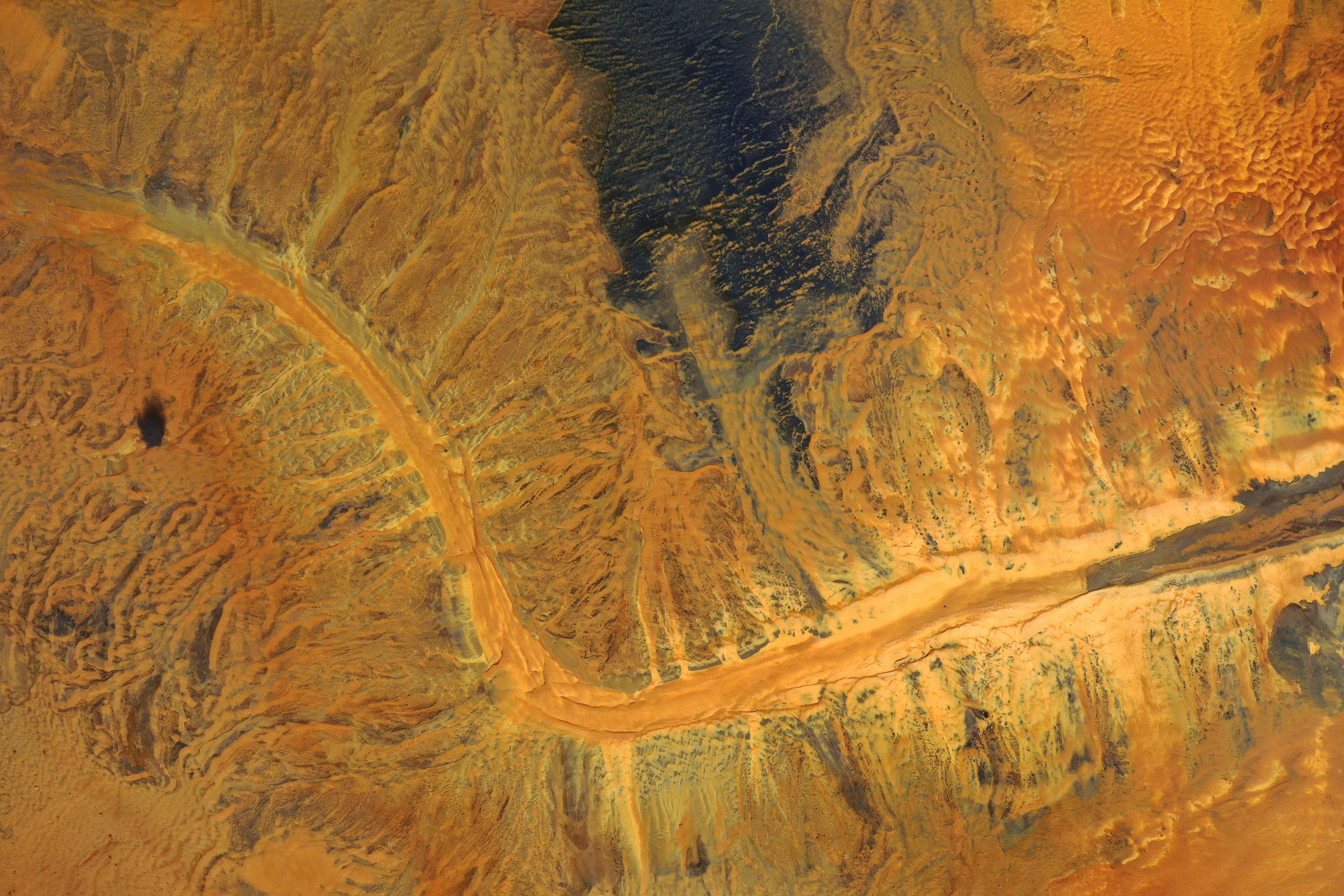
Remote sensing is a transformative tool in the field of mineral exploration. By using satellite or aerial imagery, remote sensing provides detailed information about the earth's surface without requiring physical contact. This technology plays a crucial role in identifying mineral deposits, especially in the early stages of development.
At its core, remote sensing involves collecting data through sensors that detect and measure reflected or emitted electromagnetic radiation. This data is then analyzed to identify potential mineral sites. The ability to cover large and inaccessible areas makes remote sensing a cost-effective and efficient method in mineral exploration.
Key Advantages in Mineral Exploration
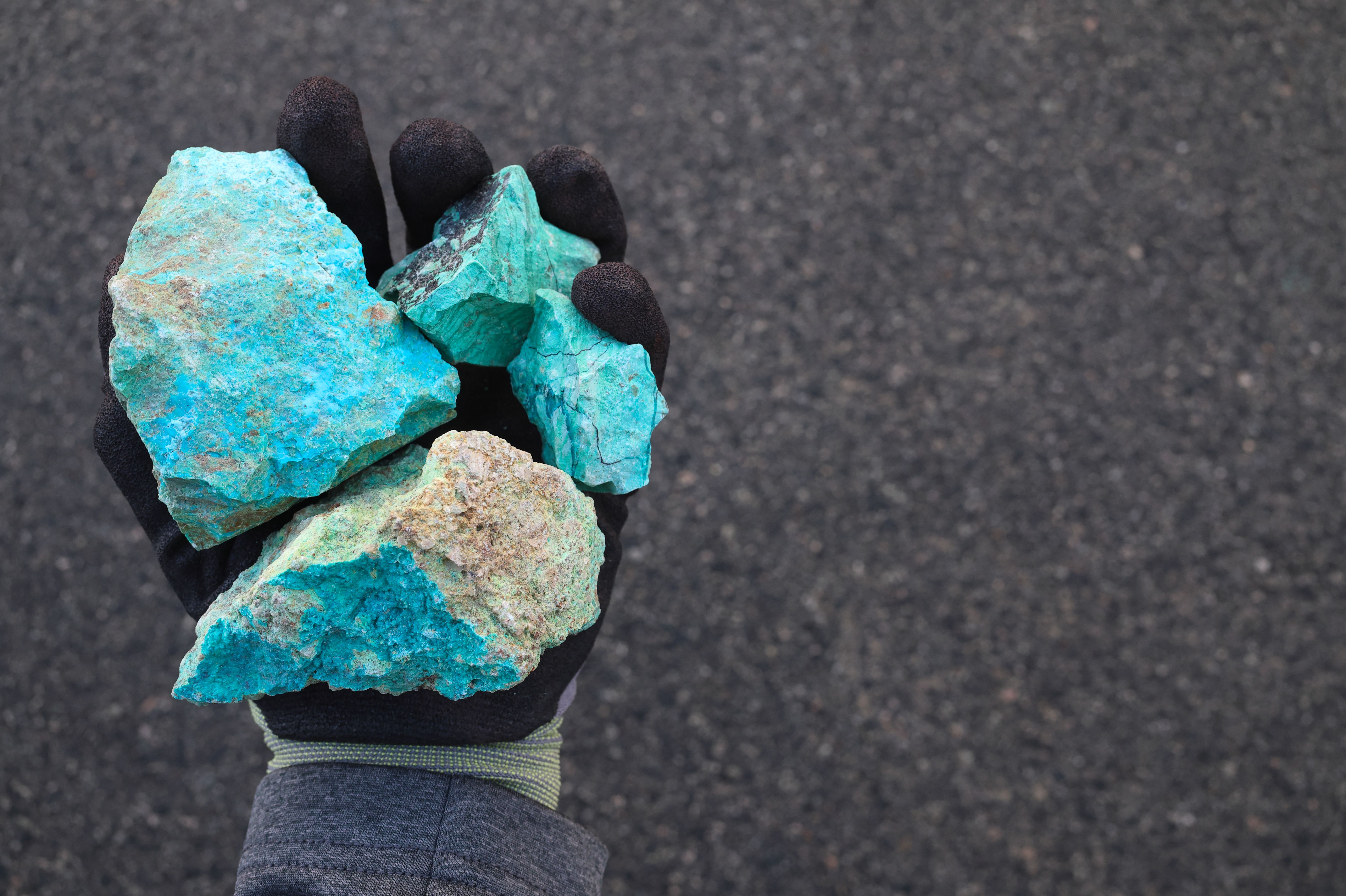
One of the primary benefits of remote sensing is its capacity to cover extensive areas in a short amount of time. This broad coverage allows geologists to quickly identify promising sites for further investigation. Additionally, remote sensing can detect surface alterations indicative of mineral deposits, such as changes in vegetation or soil color.
Cost-Effectiveness
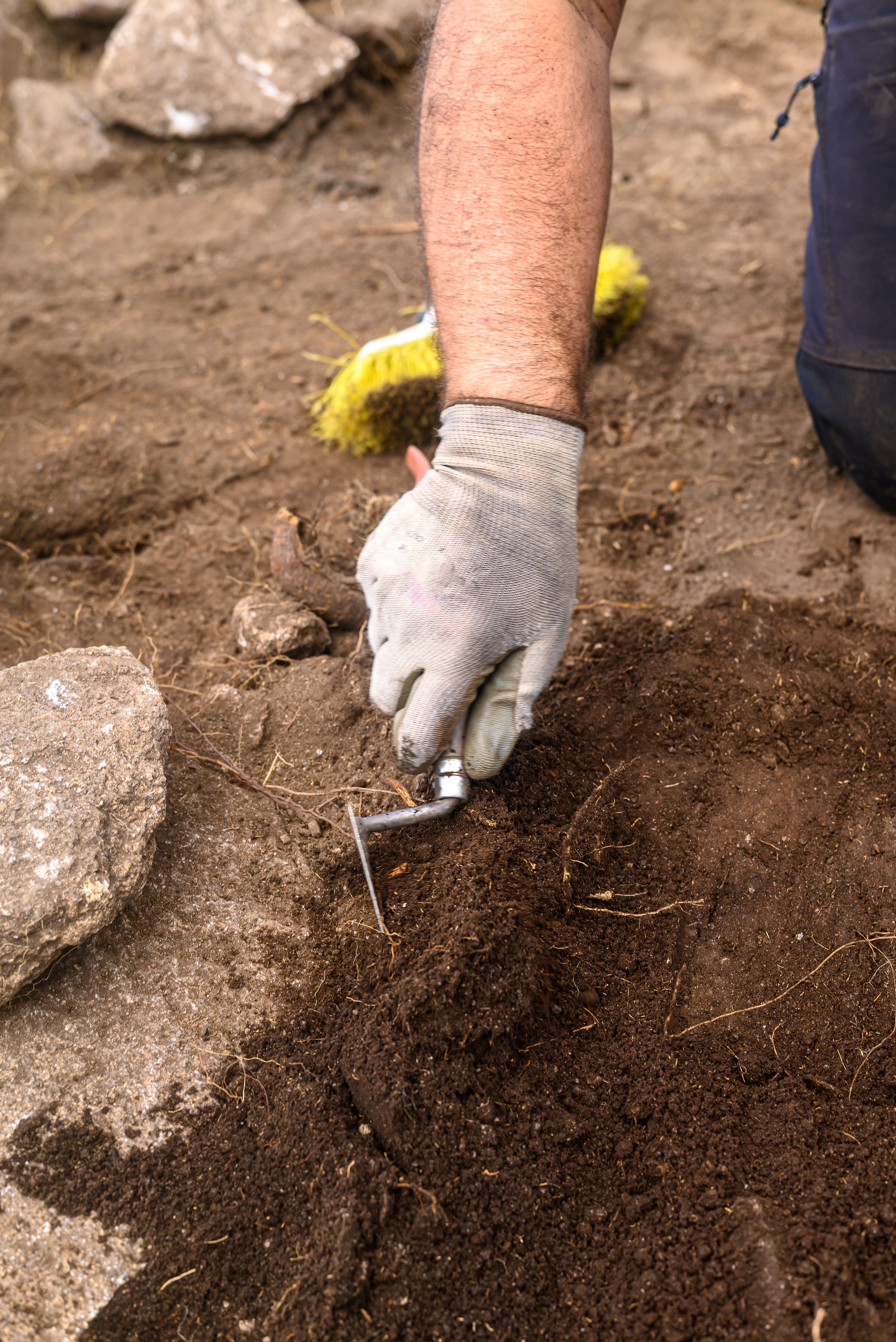
The reduction in time and labor costs is a significant advantage. Traditional methods of exploration often require extensive fieldwork, which can be both expensive and time-consuming. Remote sensing minimizes these costs by providing initial data that can guide subsequent field investigations more effectively.
Technological Innovations
Advancements in remote sensing technology have further enhanced its application in mineral development. High-resolution imaging and multispectral analysis allow for more precise identification of mineral-rich areas. These innovations enable the detection of subtle differences in the earth’s surface that may indicate hidden mineral deposits.
Integration with GIS
Remote sensing data is often integrated with Geographic Information Systems (GIS) to create detailed maps that highlight potential mineral sites. This integration enhances decision-making by providing a visual representation of data that is easy to interpret and analyze.
Challenges and Considerations
While remote sensing offers numerous benefits, there are challenges associated with its use. The interpretation of remote sensing data requires expertise in both geology and technology, making skilled personnel essential for accurate analysis. Additionally, environmental factors, such as cloud cover or vegetation, can sometimes obscure data collection.
Environmental Impact
Remote sensing also plays a role in minimizing the environmental impact of mineral exploration. By accurately identifying areas with higher mineral potential, it reduces the need for extensive drilling and excavation, preserving ecosystems and reducing the ecological footprint of mining operations.
In conclusion, remote sensing is an invaluable tool in early-stage mineral development. Its ability to provide detailed, cost-effective, and efficient data makes it an essential component of modern mineral exploration strategies.