
Revolutionizing Mineral Discovery with Remote Sensing Technology


Introduction to Remote Sensing in Mineral Discovery
The world of mineral discovery is undergoing a significant transformation, thanks to the advancements in remote sensing technology. This powerful tool is enabling geologists and mining companies to identify potential mineral-rich areas with greater precision and efficiency. By utilizing satellite imagery and aerial data, remote sensing provides a non-invasive way to explore the Earth's surface, revolutionizing the way we approach mineral exploration.
Remote sensing technology leverages various sensors to collect data from a distance, allowing for a comprehensive analysis of geographical features. This method not only saves time and resources but also minimizes environmental impact. The integration of remote sensing into mineral exploration is paving the way for more sustainable and cost-effective mining practices.
The Role of Satellite Imagery
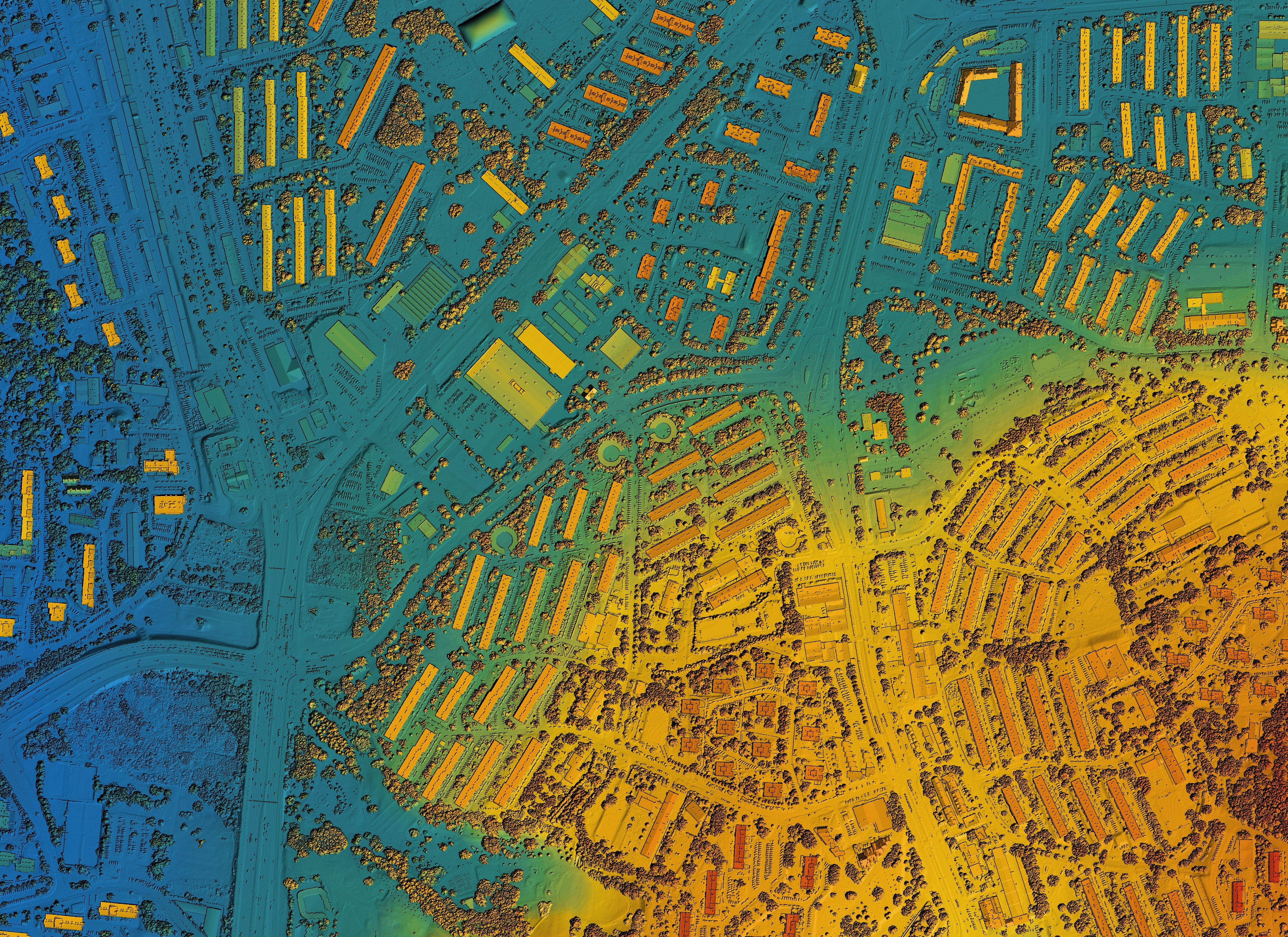
Satellite imagery plays a crucial role in remote sensing for mineral discovery. By capturing high-resolution images of the Earth's surface, satellites can reveal geological formations, vegetation patterns, and soil types that indicate the presence of valuable minerals. These images are analyzed using specialized software that can detect subtle differences in surface composition, helping geologists pinpoint areas of interest.
One of the key advantages of satellite imagery is its ability to cover large areas quickly, providing a bird's-eye view of potential mining sites. This broad perspective allows exploration teams to focus their efforts on the most promising locations, significantly reducing the time and cost associated with traditional ground-based surveys.
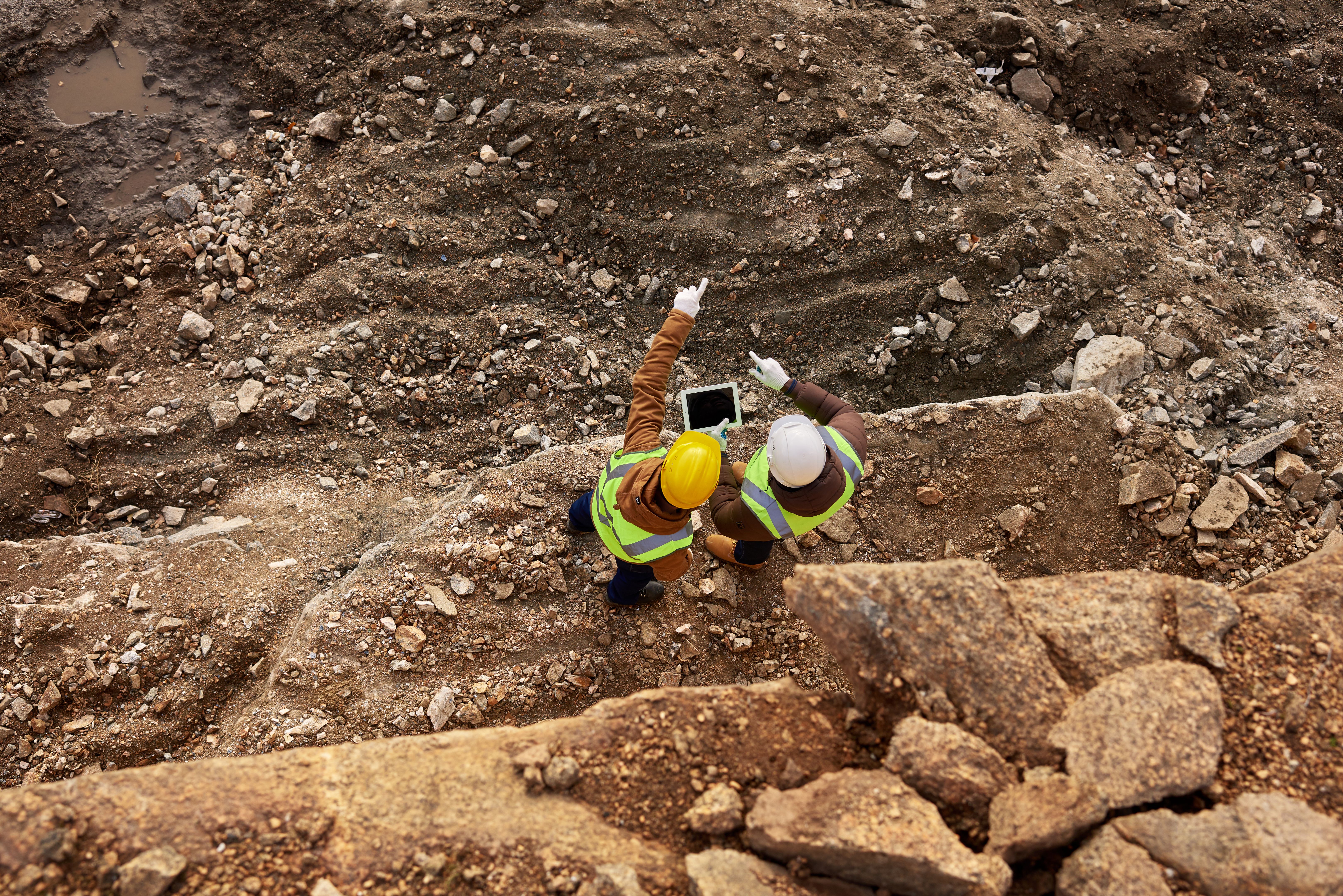
Aerial Data and Its Impact
Aerial data collection, often conducted using drones or aircraft, complements satellite imagery by offering more detailed views of specific areas. This method provides high-resolution images and can capture data in real-time, giving geologists a closer look at surface anomalies and mineral outcrops. The ability to fly over challenging terrains and access remote locations makes aerial data an invaluable asset in mineral exploration.
Furthermore, advances in aerial sensor technology, such as hyperspectral and multispectral imaging, allow for the identification of mineral compositions and alterations with remarkable accuracy. These technologies can detect variations in surface materials that are not visible to the naked eye, providing crucial insights into the mineralogical characteristics of an area.
Data Analysis and Interpretation
The vast amount of data collected through remote sensing requires sophisticated analysis techniques to extract meaningful information. Machine learning algorithms and artificial intelligence play a pivotal role in interpreting this data, identifying patterns, and predicting mineral deposits. These technologies enhance the accuracy and efficiency of mineral exploration, making remote sensing an indispensable tool for modern mining operations.
Geologists and data scientists work together to develop models that can predict mineral occurrences based on the data collected. This collaborative approach not only improves the success rate of exploration projects but also enables companies to make informed decisions about where to invest their resources.

Environmental and Economic Benefits
The adoption of remote sensing technology in mineral discovery offers significant environmental and economic benefits. By reducing the need for extensive ground surveys, this approach minimizes the ecological footprint of exploration activities. It also helps in preserving natural habitats and reducing the risk of environmental degradation.
Economically, remote sensing streamlines the exploration process, leading to faster discoveries and reduced operational costs. Companies can allocate their resources more efficiently, focusing on the most promising sites while avoiding less productive areas. This efficiency translates into increased profitability and a more sustainable approach to mineral extraction.
Conclusion: The Future of Mineral Exploration
As remote sensing technology continues to evolve, its impact on mineral discovery is expected to grow even further. The integration of advanced sensors, data analytics, and machine learning is set to revolutionize the mining industry, making exploration more efficient, sustainable, and environmentally friendly.
The future of mineral exploration lies in the innovative use of technology to uncover the Earth's hidden treasures. Remote sensing is at the forefront of this transformation, offering new possibilities and opportunities for growth in the mining sector. By embracing these advancements, we can look forward to a future where mineral discovery is both responsible and rewarding.