
Innovations in Remote Sensing for Mining: A Game Changer for Zambian Exploration


Introduction to Remote Sensing in Mining
In recent years, the mining industry has been revolutionized by the advent of remote sensing technologies. These innovations are particularly transformative for countries like Zambia, where vast mineral resources are yet to be fully explored. Remote sensing offers a non-invasive and cost-effective way to survey large areas, providing critical data that helps in decision-making processes.
The Role of Satellite Imagery
Satellite imagery is at the forefront of remote sensing technologies in mining. It enables geologists and mining companies to gather valuable data about the earth's surface without the need for physical presence. This technology is especially beneficial in Zambia, where challenging terrains and remote locations often make traditional exploration methods difficult and expensive.
High-resolution satellite images can identify geological formations, mineral deposits, and even potential environmental impacts. By analyzing these images, mining companies can prioritize areas for exploration, ultimately saving time and resources.
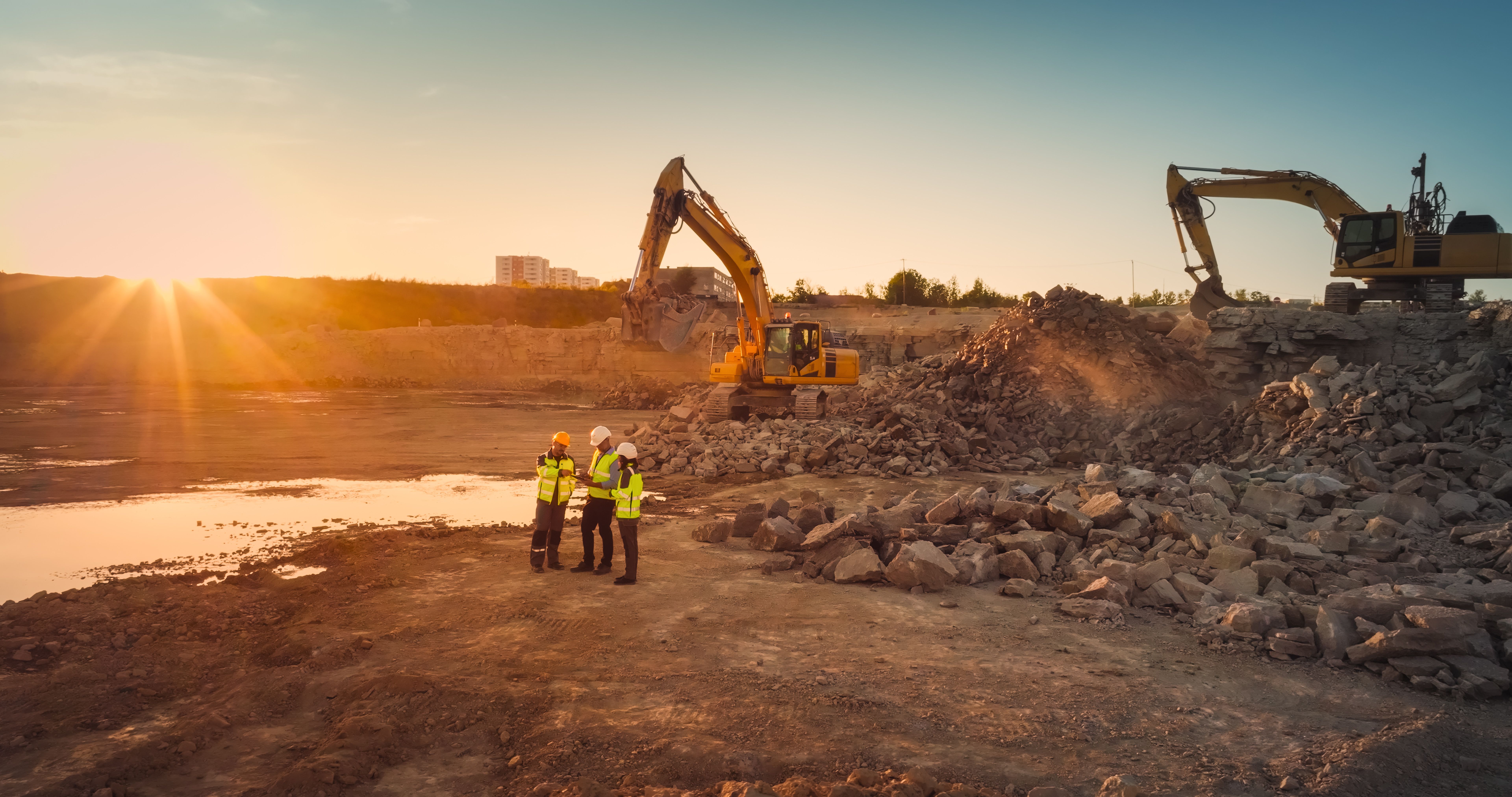
Aerial Drones: Enhancing Data Collection
Aerial drones complement satellite imagery by offering detailed, localized data collection. Equipped with advanced sensors, drones can capture high-resolution photographs and videos that provide deeper insights into specific areas of interest. In Zambia, drones are increasingly being used to map outcroppings, measure stockpiles, and monitor mining activities.
One of the significant advantages of using drones is their ability to access areas that are otherwise difficult or dangerous for humans to reach. This capability is crucial for ensuring safety and efficiency in mining operations.
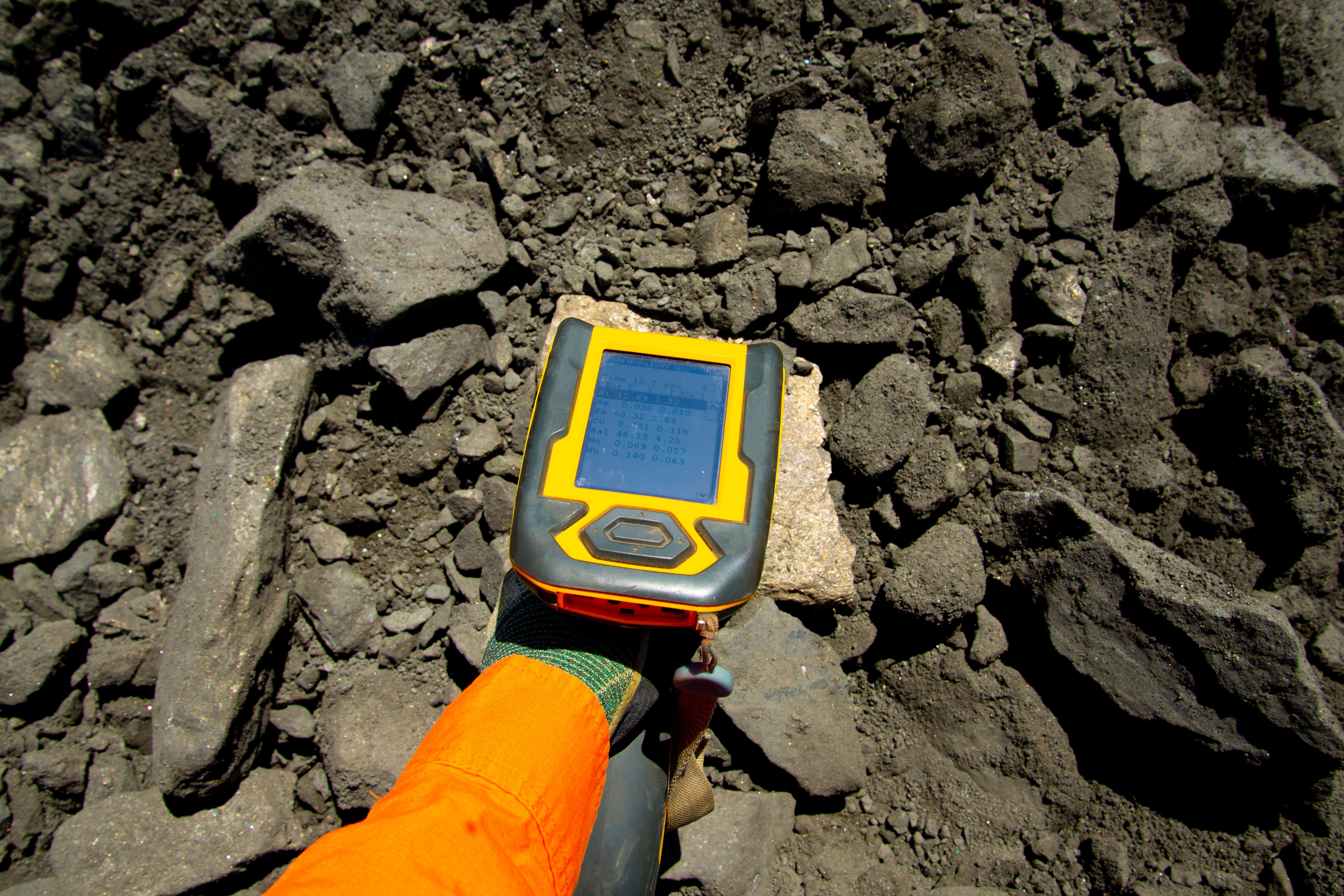
Geophysical Surveys: Precision and Depth
Geophysical surveys conducted using remote sensing technologies have become a game-changer for the mining industry. Techniques such as magnetometry, radiometry, and electromagnetic surveys provide detailed information about the subsurface structures. In Zambia, these methods have been instrumental in identifying mineral-rich zones with greater precision and depth understanding.
By integrating geophysical data with other remote sensing technologies, mining companies can develop comprehensive models that predict mineral occurrences more accurately than ever before.
Environmental Monitoring and Compliance
Remote sensing is not just limited to exploration; it also plays a crucial role in environmental monitoring and compliance. In Zambia, mining activities must adhere to strict environmental regulations to minimize their ecological impact. Remote sensing technologies help in tracking changes in vegetation, water bodies, and land use patterns, ensuring that mining operations comply with environmental standards.
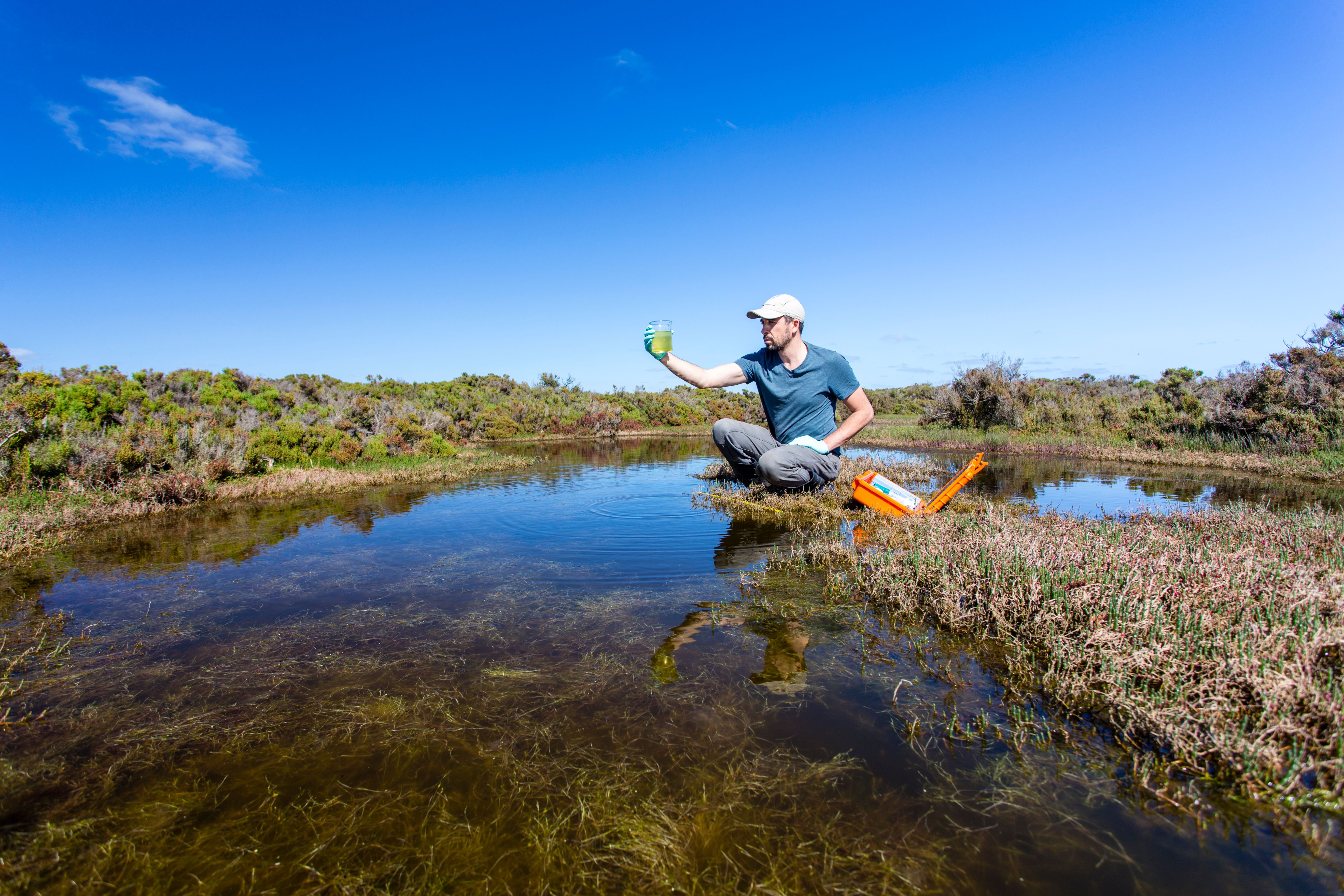
These technologies enable real-time monitoring, allowing companies to address potential environmental issues promptly and effectively.
The Economic Impact on Zambian Exploration
The adoption of remote sensing technologies in Zambia is not only enhancing exploration efforts but also having a positive economic impact. By reducing exploration costs and increasing the efficiency of resource identification, these innovations are attracting more investment into the Zambian mining sector.
Furthermore, the increased precision and reduced environmental footprint of remote sensing techniques foster sustainable mining practices, which are essential for long-term economic growth.
Conclusion
Innovations in remote sensing are undoubtedly a game changer for mining exploration in Zambia. From satellite imagery and drones to geophysical surveys and environmental monitoring, these technologies are reshaping how the industry operates. As Zambia continues to embrace these advancements, the potential for discovering new mineral resources while maintaining environmental stewardship becomes increasingly promising.