
How Remote Sensing Technology is Revolutionizing Mineral Discovery in Zambia


In recent years, Zambia has emerged as a crucial player in the global mining industry, thanks to its rich deposits of minerals such as copper, cobalt, and emeralds. A key driver of this growth is the adoption of remote sensing technology, which is revolutionizing how mineral discovery is conducted across the region.
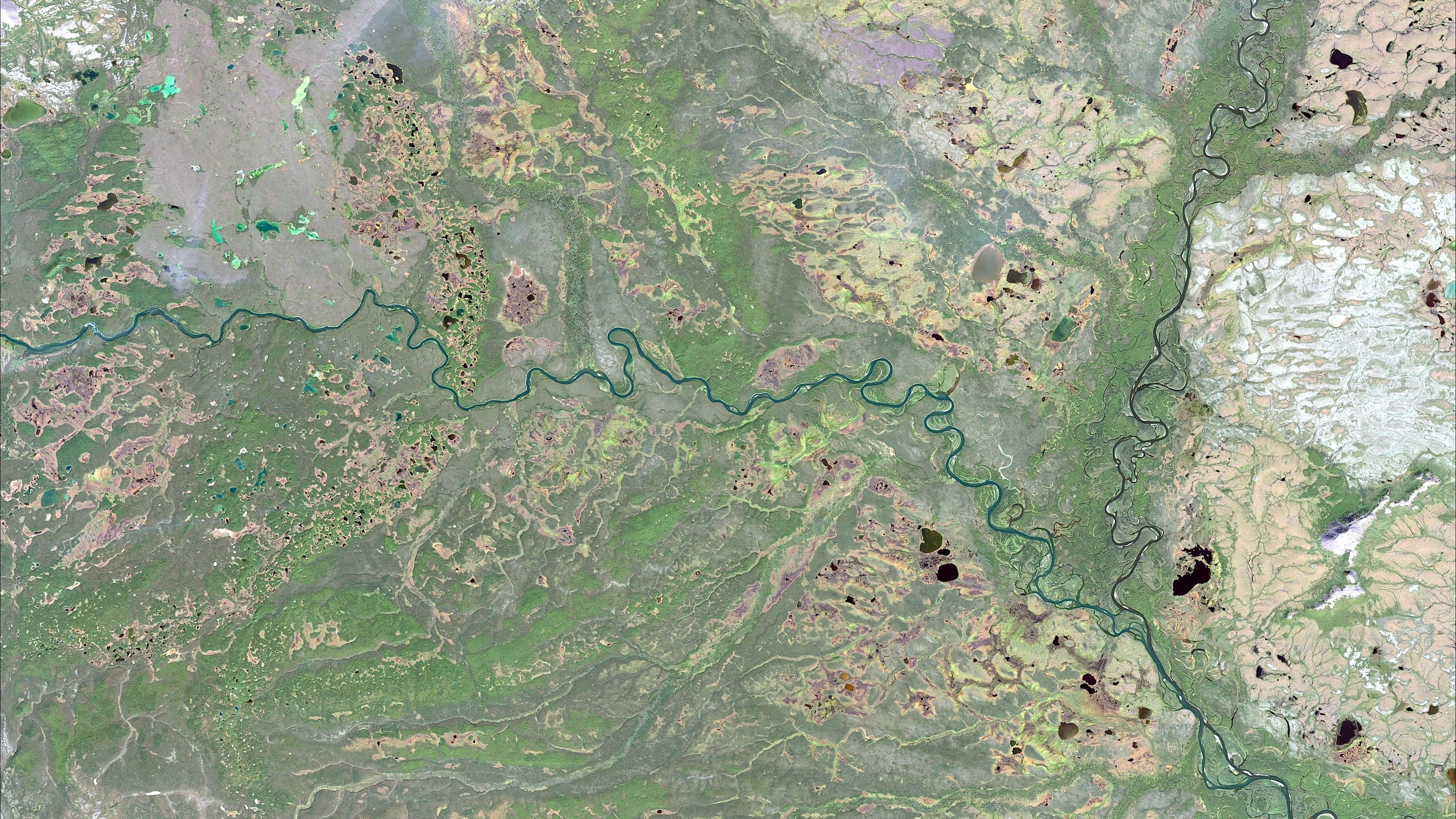
Remote sensing technology involves the use of satellite or aerial imagery to collect information about the Earth's surface without direct contact. This innovative approach provides a wealth of data that can be used to identify mineral-rich areas, significantly enhancing the efficiency and accuracy of mineral exploration.
Enhanced Exploration Efficiency
One of the most significant benefits of remote sensing technology is its ability to improve exploration efficiency. Traditional methods of mineral discovery often involve extensive fieldwork, which can be time-consuming and costly. In contrast, remote sensing allows geologists to analyze large areas of land quickly, identifying promising sites with minimal manual intervention.
This technology leverages various techniques, such as spectral analysis, to detect specific mineral signatures. By interpreting these signals, geologists can pinpoint areas with high potential for mineral deposits, reducing the need for exhaustive ground surveys.
Cost Reduction and Safety Improvements
In addition to enhancing efficiency, remote sensing technology also offers substantial cost savings. By narrowing down exploration areas, companies can allocate resources more effectively, focusing on the most promising sites. This targeted approach not only reduces operational costs but also minimizes the environmental impact of exploration activities.
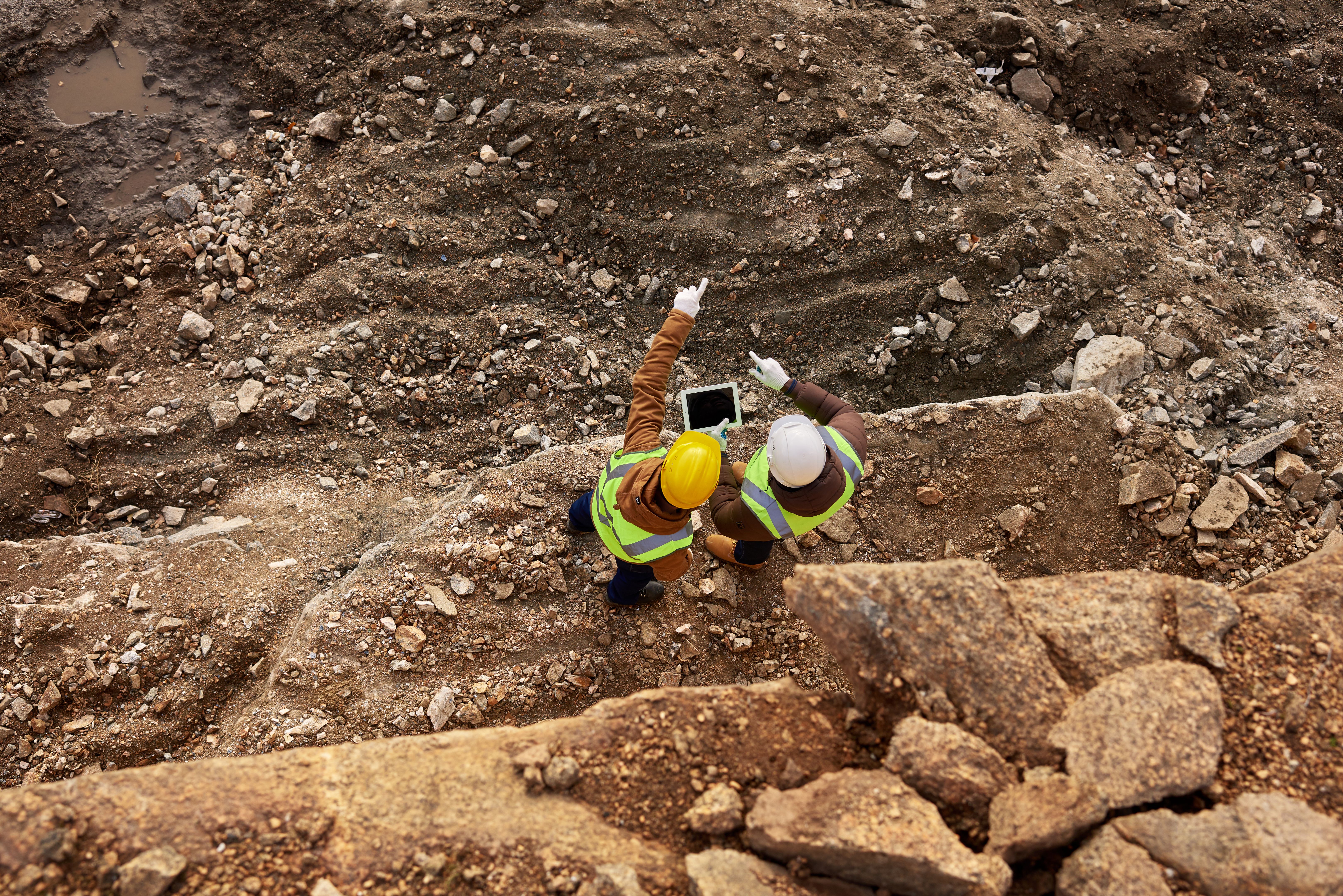
Furthermore, remote sensing enhances safety by reducing the need for personnel to enter potentially hazardous areas. With detailed satellite imagery and data analysis, exploration teams can make informed decisions from afar, minimizing the risks associated with on-the-ground surveys.
Data-Driven Decision Making
The wealth of data generated by remote sensing technology also empowers mining companies to make more informed decisions. By integrating this data with other geological information, companies can develop comprehensive models that predict the location and quality of mineral deposits.
These models enable companies to optimize their exploration strategies, ensuring that they focus on areas with the highest potential return on investment. Additionally, data-driven decision-making supports sustainable mining practices by allowing companies to minimize their environmental footprint.

Challenges and Future Prospects
Despite its advantages, the adoption of remote sensing technology in Zambia is not without challenges. The initial setup cost for acquiring and processing remote sensing data can be high, and there is a need for skilled personnel to interpret the complex data accurately.
However, with continued investment and training, these challenges can be overcome. As the technology evolves, it is expected to become more accessible and cost-effective, further driving its adoption in the mining industry.
Conclusion
Remote sensing technology is transforming mineral discovery in Zambia, offering numerous benefits such as improved efficiency, cost reduction, and enhanced safety. As the technology continues to evolve, it promises to play an increasingly vital role in the sustainable development of Zambia's mining sector, ensuring that the country remains a key player in the global mineral market.