
Expert Insights: The Role of Remote Sensing in Unlocking Mineral Deposits


Understanding Remote Sensing
Remote sensing is a powerful technology that allows scientists to gather data about the Earth's surface without direct contact. Using satellite or aerial imagery, remote sensing provides a comprehensive overview of large areas, making it an invaluable tool in various fields, including mineral exploration.
The ability to analyze vast expanses of land quickly and efficiently has revolutionized how geologists and mining companies approach the discovery of mineral deposits. By utilizing remote sensing, they can identify promising areas for further investigation, significantly reducing the time and cost associated with traditional exploration methods.

How Remote Sensing Works
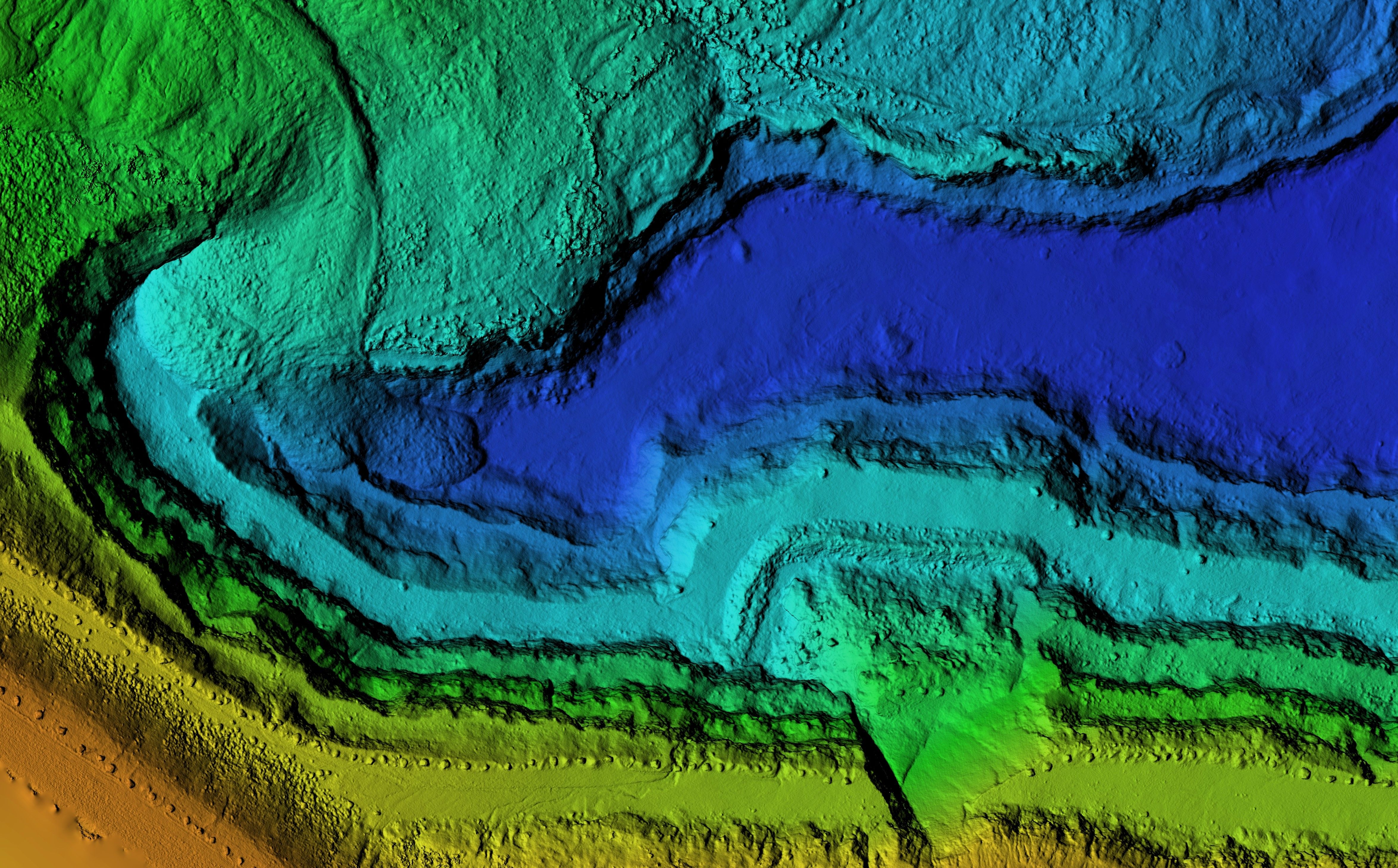
Remote sensing operates by detecting and measuring radiation reflected or emitted from the Earth's surface. This data is captured by sensors on satellites or aircraft and then analyzed to provide insights into the composition, structure, and condition of the land. Different types of sensors are used depending on the specific requirements of the exploration.
For mineral exploration, multispectral and hyperspectral sensors are particularly useful. These sensors capture data across various wavelengths, allowing scientists to identify specific minerals based on their spectral signatures. This capability is crucial for pinpointing areas with high mineral potential.
The Advantages of Remote Sensing in Mineral Exploration
One of the most significant advantages of remote sensing is its ability to cover large and inaccessible areas. This capability is especially beneficial in regions with harsh climates or challenging terrains where traditional exploration methods are impractical or dangerous.
Additionally, remote sensing offers a non-invasive approach to exploration. It minimizes environmental impact by reducing the need for extensive ground-based surveys and drilling operations. This aspect aligns with the growing emphasis on sustainable and environmentally friendly mining practices.
Applications of Remote Sensing in Mineral Discovery
Remote sensing is used in various stages of mineral exploration, from preliminary surveys to detailed analysis. In the initial stages, it helps identify geological formations and structures that may host mineral deposits. By analyzing the data, geologists can prioritize target areas for more detailed examination.
Once potential sites are identified, remote sensing can further assist in mapping mineral alteration zones and assessing surface conditions. This information is crucial for planning resource extraction and developing effective mining strategies.
Challenges and Limitations
Despite its many advantages, remote sensing is not without challenges. The accuracy of the data depends on factors such as sensor resolution, atmospheric conditions, and the expertise of the analysts interpreting the data. Misinterpretations can lead to false positives or missed opportunities in mineral discovery.
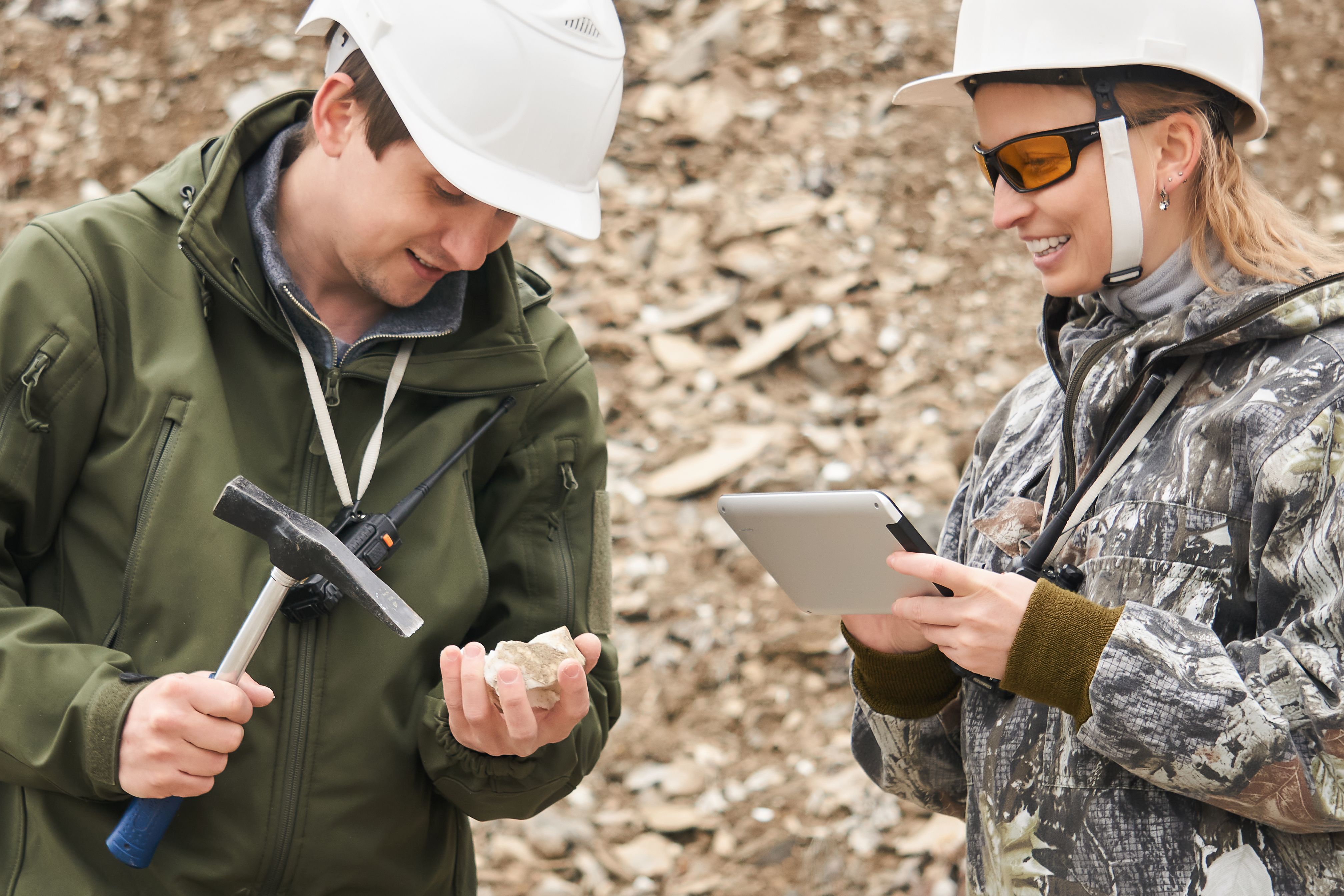
Moreover, remote sensing is often used in conjunction with other exploration techniques to validate findings. Ground truthing—conducting on-site investigations—is essential to confirm remote sensing interpretations and ensure reliable results.
The Future of Remote Sensing in Mining
As technology advances, the role of remote sensing in mineral exploration is expected to grow even more prominent. Innovations in sensor technology and data processing are enhancing the accuracy and efficiency of remote sensing applications.
Furthermore, integrating remote sensing with other technologies such as artificial intelligence and machine learning could unlock new possibilities for predictive modeling and automated analysis. These developments promise to further streamline exploration processes and drive the discovery of new mineral resources worldwide.

The integration of remote sensing into mining practices represents a significant leap forward in resource exploration. As we continue to explore the Earth's rich mineral resources, remote sensing will undoubtedly remain a cornerstone of innovative and sustainable mining operations.