
A Beginner's Guide to Remote Sensing in Mineral Exploration


What is Remote Sensing?
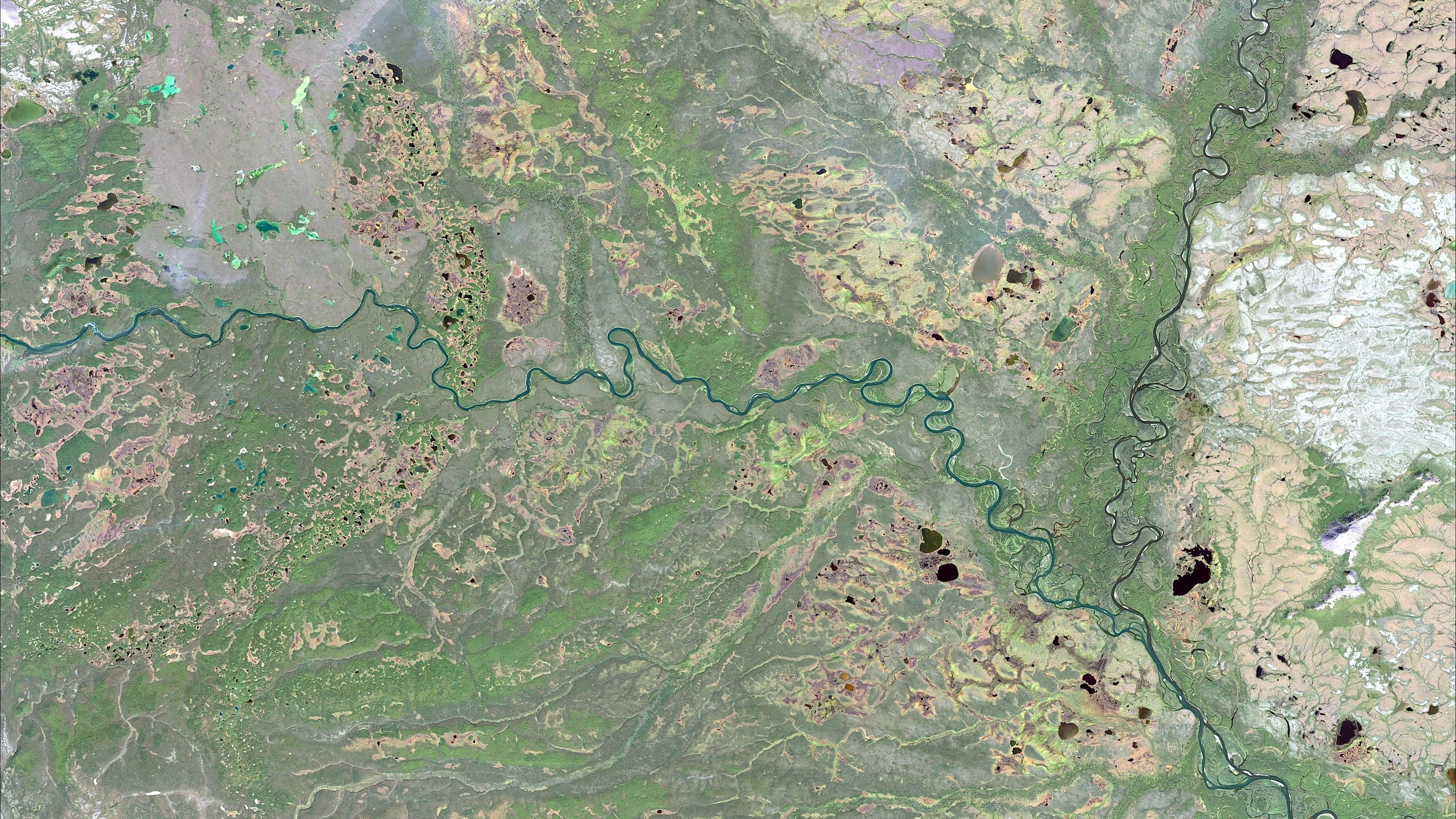
Remote sensing is a powerful tool in the field of mineral exploration that allows geologists and researchers to gather data about the Earth's surface without physical contact. By using satellite or aerial imagery, remote sensing provides valuable insights into the mineral composition and geological features of an area, enabling more efficient and cost-effective exploration processes.
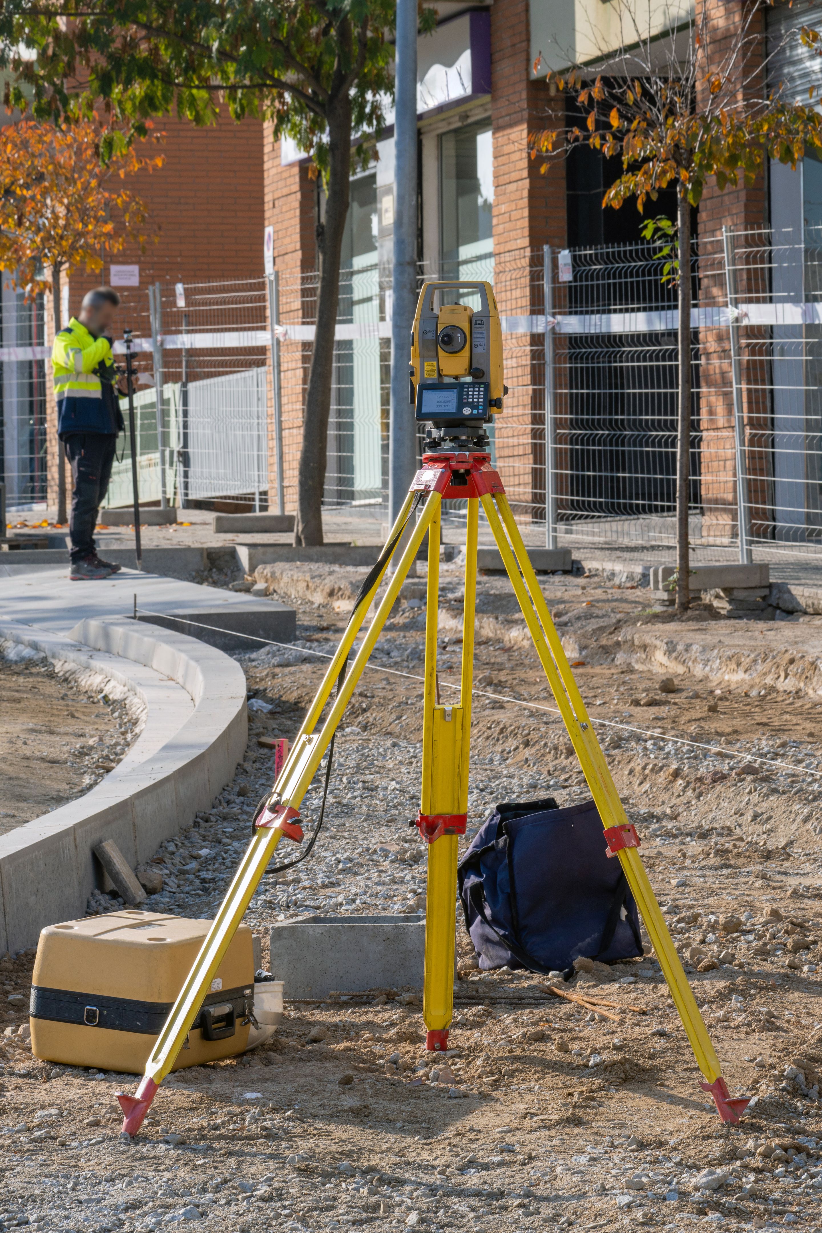
In mineral exploration, remote sensing technologies help in identifying promising locations for drilling and extraction. This non-invasive technique is especially beneficial in remote or challenging terrains where traditional exploration methods might be costly or impractical.
How Does Remote Sensing Work?
Remote sensing involves the detection and measurement of radiation reflected or emitted from the Earth's surface. This information is captured by sensors on satellites or aircraft. The data collected is then processed and analyzed to extract meaningful information about the terrain, vegetation, and mineral deposits.
The sensors used in remote sensing can capture data in various wavelengths, including visible, infrared, and microwave bands. This capability allows them to identify different materials and their properties based on their spectral signatures.
Advantages of Remote Sensing in Mineral Exploration
One of the key advantages of remote sensing is its ability to cover large areas quickly and efficiently. This capability significantly reduces the time and cost involved in preliminary exploration phases. Furthermore, remote sensing can provide data on inaccessible regions, making it an invaluable tool for exploration in challenging environments.
Remote sensing also enhances the accuracy of mineral mapping and analysis. By integrating remote sensing data with other geological information, geologists can create detailed maps that highlight areas with high mineral potential. This informed approach leads to better decision-making and resource allocation.
Integration with Other Technologies
Remote sensing can be combined with Geographic Information Systems (GIS) and other geospatial technologies to enhance its effectiveness. GIS allows for the visualization, analysis, and interpretation of spatial data, which can be overlaid with remote sensing imagery to create comprehensive geological models.
Challenges and Limitations
While remote sensing offers numerous benefits, it is not without its challenges. Cloud cover, atmospheric conditions, and sensor limitations can affect the quality of the data collected. Additionally, interpreting remote sensing data requires specialized knowledge and expertise, which may necessitate training or collaboration with experienced professionals.

The accuracy of remote sensing data is also dependent on the resolution of the sensors used. High-resolution imagery provides more detailed information but may be more expensive to acquire. Balancing cost and accuracy is a key consideration in the use of remote sensing for mineral exploration.
Future Prospects
The future of remote sensing in mineral exploration looks promising with advancements in technology. Innovations such as hyperspectral imaging and drone-based remote sensing are opening new possibilities for more precise and comprehensive mineral mapping. As technology evolves, remote sensing is expected to become even more integral to efficient and sustainable mineral exploration practices.
By staying informed about these developments, companies involved in mineral exploration can leverage remote sensing to stay ahead in a competitive industry. As a beginner, understanding the basics of remote sensing will equip you with valuable insights into modern exploration techniques.